Land4 for Archicad v23 v24 v25 WiN x64
LAND4 v.04.04 for ArchiCAD 27 Win x64
快速、靈活和精確的Archicad地形建模插件。
LAND4在ARCHICAD中提供對地形模型的增強、直接和精確控制,并為您節省大量時間。
借助諸如“輕松導入”、“動態高程點”、“墜落線”、“等高線”和“陸地表面”(LAND4地形模型)等功能強大的工具,以及新的類別功能,LAND4將幫助您從勘測員數據的導入到最終項目演示,優化您的工作流程。
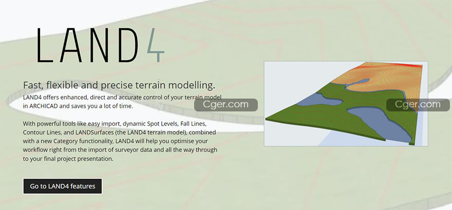
Fast, flexible and precise terrain modelling.
LAND4 offers enhanced, direct and accurate control of your terrain model in ARCHICAD and saves you a lot of time.
With powerful tools like easy import, dynamic Spot Levels, Fall Lines, Contour Lines, and LANDSurfaces (the LAND4 terrain model), combined with a new Category functionality, LAND4 will help you optimise your workflow right from the import of surveyor data and all the way through to your final project presentation.

描述:
標簽: Archicad 建模 軟件 插件 工具 地形分類:資源 > 軟件資源 > 軟件資源:未分類
發布:CGer | 查看: | 發表時間:2022/6/28 11:38:28 | 更新時間:2025/4/5 11:19:29
○ 因利息系統長期被人利用漏洞刷取CG點,目前取消利息功能,作為補償,每個賬號額外一次性補償當前余額的 30% ,充值贈送百分比提高 100% (暫定),請知悉。 ○ 充值或賬號問題請【點擊這里聯系站長】 |
| 常見問題,點擊查詢: | ||
| ●CGer(Cg兒)資源下載幫助 | ||
| ●資源名詞解釋 | ||
| ●注冊/登陸問題 | ||
| ●充值出錯/修改密碼/忘記密碼 | ||
| ●充值贈送系統 | ||
| ●文件解壓出錯/解壓密碼 | ||
| ●Payment with Paypal | ||
| ●哪些資源會被列為付費資源 | ||
| ●為何要充值解鎖 | ||
| ●免責條款 | ||
| ●聯系站長(聯系站長前請先仔細閱讀 免責條款 ,網站只提供資源,不提供軟件安裝等服務!) | ||


