ArqCOM - CAD Earth v4.1.2 for Autocad 2007 to 2015
輕松導入/導出圖像,物體和地形在谷歌地球和其他主流CAD程序之間的插件。
Easily import/export images, objects and terrain meshes between Google Earth and major CAD programs
Preview position of selected drawing entities in a map
New in version 4.1. Added ability to preview position of selected drawing entities in a map when selecting a coordinate system to georeference a drawing. Drawing entities can be moved, scaled or rotated in the map until they match the site.
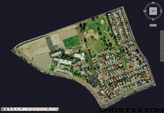
Process images up to 10x faster
Process images up to 10x faster from different providers (Google, Bing, Yahoo, Ovi) in satellite, map or hybrid image mode in normal, medium, high or highest resolution.
Map Control for drawing entities
New map control where you can preview drawing entities in the real world. You can move, scale and rotate reference entities in real time until they match the exact location.
Commands to georeference a drawing
描述:
標簽: 插件 數據交換 地圖 軟件分類:資源 > 軟件資源 > 軟件資源:未分類
發布:CGer | 查看: | 發表時間:2014/12/27 21:20:52 | 更新時間:2025/4/5 0:14:39
○ 因利息系統長期被人利用漏洞刷取CG點,目前取消利息功能,作為補償,每個賬號額外一次性補償當前余額的 30% ,充值贈送百分比提高 100% (暫定),請知悉。 ○ 充值或賬號問題請【點擊這里聯系站長】 |


點擊消耗 10 CG點(約 1.0 元)解鎖 30個通用資源, 12小時內有效!(有效期內不重復扣點)


| 常見問題,點擊查詢: | ||
| ●CGer(Cg兒)資源下載幫助 | ||
| ●資源名詞解釋 | ||
| ●注冊/登陸問題 | ||
| ●充值出錯/修改密碼/忘記密碼 | ||
| ●充值贈送系統 | ||
| ●文件解壓出錯/解壓密碼 | ||
| ●Payment with Paypal | ||
| ●哪些資源會被列為付費資源 | ||
| ●為何要充值解鎖 | ||
| ●免責條款 | ||
| ●聯系站長(聯系站長前請先仔細閱讀 免責條款 ,網站只提供資源,不提供軟件安裝等服務!) | ||